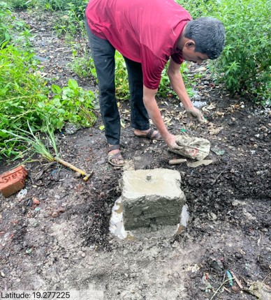
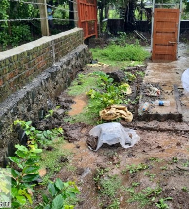
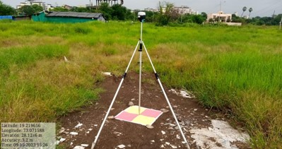
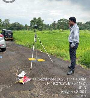
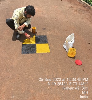
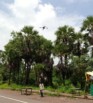
Drone Survey Investigation Drone Survey Investigation Process Site Visit Construction of Benchmark 10 hr Base Data taking from TBM DGPS Point Marking Drone Flying Step-1: Site Visit Step-2: Construction of Benchmark Step-3: DGPS Points Marking Step-4: Drone Flying Results and Outputs Aerial Map with Boundary Contour Map Boundary Dimension Map Coordinates Map Road Level Map Drainage Direction Map 10 meters Grid Map Waste Volume Map Topography Map